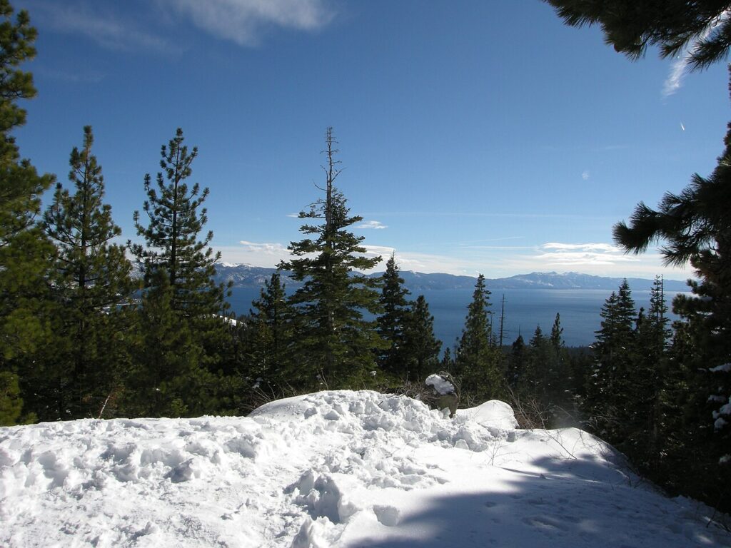

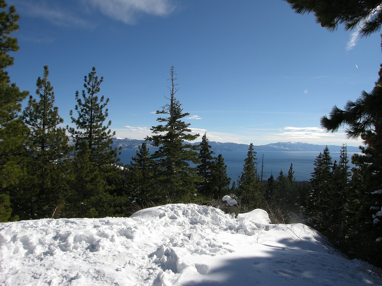
The first significant winter storm of the season is hitting the Sierra Nevada today, with up to 20 inches of snow and ridge gusts of 90 mph forecast around Lake Tahoe, while a hard freeze pushes into the Deep South and the East Coast cleans up after a coastal storm that spawned a tornado in Delaware. The Sierra snowstorm headlines a day of wild weather across the United States.
National Weather Service Winter Storm Warnings take effect late this morning for the Sierra Nevada, including Lake Tahoe and Interstate 80, with 1 to 2 feet of heavy, wet snow on the highest ground, ridge gusts up to 70 to 90 mph near Tahoe, and travel that could be very difficult to impossible into Saturday. Around Lake Tahoe, the weather service office in Reno forecast about 12 inches of heavy, wet snow above 7,000 feet, up to 6 inches below that elevation and as much as 20 inches along the crest west of the lake, with gusts of 35 to 45 mph in Truckee and lakeside communities and waves of 2 to 4 feet on Lake Tahoe.
Warnings Across the Range
A winter storm warning issued by the Sacramento office runs from 10 a.m. Friday to 10 a.m. Saturday for the northern Sierra above 6,000 feet, including Interstate 80, US Highway 50, State Route 4 and State Route 108, and for the southern Cascades, including Lassen Volcanic National Park. In Mono County, a separate warning calls for 1 to 2 feet of snow above 7,000 feet, gusts of 60 to 80 mph over ridges and 45 to 55 mph along US Highway 395 from 1 p.m. Friday to 10 a.m. Saturday. Snow levels are forecast to start between 6,500 and 7,500 feet Friday before dropping to between 5,500 and 6,500 feet Saturday morning, with the heaviest snow expected Friday night into Saturday morning. The National Weather Service said a series of storm systems will bring additional mountain snow, widespread rainfall and gusty to strong southerly winds into early next week.
Coasts and the Deep South
The same Pacific storm is bringing damaging wind gusts and breaking waves as high as 35 feet to the Northern California and Oregon coasts, with high surf warnings along much of the coast from Oregon to Big Sur and High Wind Warnings on the southern Oregon and Del Norte coasts, where widespread outages are expected. In the east, the coastal storm that brought a confirmed tornado near Newark, Delaware, hail and flash-flood water rescues on Thursday is pulling away, though wrap-around showers linger over New England. Storms with a tornado warning for Queens brought Federal Aviation Administration ground stops at JFK and LaGuardia airports on Thursday afternoon. A hard freeze reaches the Deep South on Saturday. Read our earlier report on the Northeast coastal storm here: https://reportrig.com/northeast-coastal-storm-brings-rain-as-sierra-blizzard-nears/