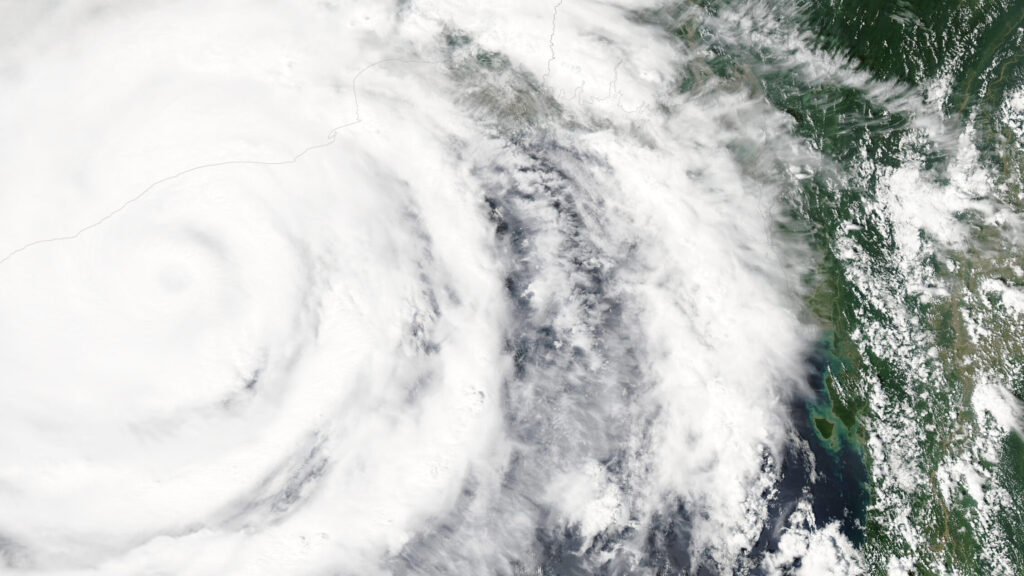

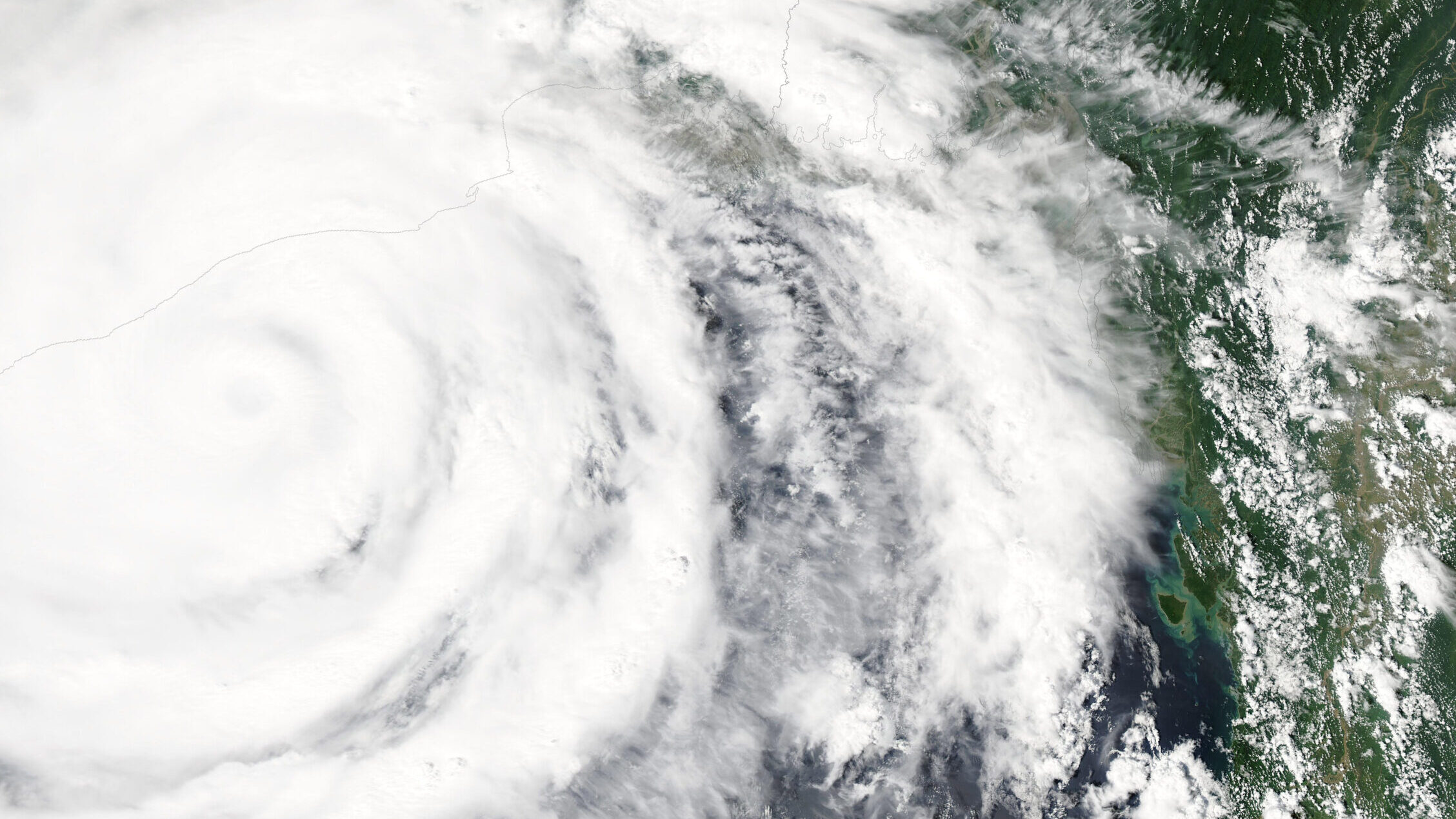
Cyclone Akvan has strengthened into a severe cyclonic storm over the Bay of Bengal and is now bearing down on India’s east coast, with landfall expected around noon on Friday, November 20. The Cyclone Akvan landfall forecast puts the storm ashore between Nellore and Visakhapatnam on the Andhra Pradesh coast, with winds of 120 to 130 kilometres per hour and gusts reaching 145.
The India Meteorological Department said in its national bulletin at 2:30 a.m. on Wednesday that Akvan was centred near 12.6 degrees north and 85.6 degrees east, over the central parts of the south and adjoining west-central Bay of Bengal. At that point it was about 590 kilometres east of Chennai, 620 kilometres southeast of Machilipatnam and 620 kilometres south-southeast of Visakhapatnam.
Where and when it will hit
The department expects Akvan to intensify into a very severe cyclonic storm around the evening of Thursday, November 19, before crossing the Andhra Pradesh and Yanam coasts around noon on Friday as a very severe cyclonic storm. It will then weaken over land to a cyclonic storm by Friday night and to a depression by Saturday morning.
One forecaster disagrees on the peak strength. Skymet Weather said on Wednesday that Akvan may stop short of the very severe category and cross as a severe cyclonic storm, closer to the Kakinada to Tuni stretch, with winds of 100 to 110 kilometres per hour gusting to 120. The forecaster cited cooler sea temperatures, wind shear and the storm’s disorganised structure. The official IMD forecast remains the stronger one, and residents are being told to prepare for the worst case.
Warnings and preparations
The IMD has issued a cyclone alert, an orange message, for the Andhra Pradesh and adjoining south Odisha coasts. A red alert is in force for seven Andhra districts, including Kakinada, Konaseema, East Godavari and West Godavari. Heavy to very heavy rainfall is likely in coastal Andhra Pradesh and Yanam on November 19 and 20, with isolated areas facing extremely heavy rain.
The department warned of a storm surge that could inundate low-lying areas of Prakasam, Bapatla, Krishna, West Godavari, Konaseema, Kakinada and Visakhapatnam districts at landfall. Andhra Pradesh Chief Minister N. Chandrababu Naidu directed officials on Monday to take precautionary measures, and heavy rain is also expected in Odisha, Tamil Nadu and Telangana. Akvan developed from a low-pressure area over the Bay of Bengal, becoming a deep depression on November 16 before strengthening into a cyclonic storm.