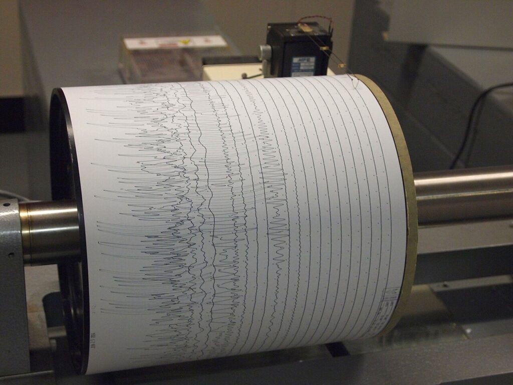

A magnitude 5.0 earthquake struck off the Philippines on Wednesday, November 4, 2026, according to United States Geological Survey (USGS) data carried by earthquake trackers. The tremor was recorded at 7:40am UTC, with its epicentre about 207 kilometres east-south-east of Sarangani, in the southern Philippines, at a depth of 49.1 kilometres.
The quake was classified as moderate, and its offshore location and depth meant it was unlikely to cause major damage, though a magnitude 5.0 event can cause slight to moderate damage to poorly constructed buildings near the epicentre. No felt reports had been received in the hours after the tremor, according to the tracking sites, and no tsunami warning, watch or advisory was issued by the Pacific Tsunami Warning Center or the USGS, because the magnitude and depth did not generate the vertical seafloor displacement needed for a hazardous tsunami.
A restless seismic zone
The Philippines sits along the Pacific Ring of Fire, where the Indo-Australian Plate converges beneath the Eurasian and Sunda plates, producing deep oceanic trenches and widespread volcanic arcs. The archipelago experiences frequent earthquakes, and trackers noted eight other earthquakes above their reporting threshold within 250 kilometres of this epicentre in the past 30 days, a reminder of how restless the region’s geology is.
The Sarangani tremor came on a busy day for seismic monitoring in the wider region, with smaller quakes also recorded in Alaska, Japan’s Bonin Islands and Fiji in the same 24-hour period, according to USGS-based listings. None of those events was linked to the Philippine quake, which was a standalone moderate event in its own fault system.
What to watch
As with any moderate earthquake, an aftershock sequence is expected over the coming days and weeks, and the USGS figures remain subject to revision as seismologists review the data. Residents in the southern Philippines are advised by disaster agencies as a matter of routine to keep emergency supplies ready and to follow official guidance rather than social media rumours in the hours after a tremor.
No casualties or damage had been reported at the time of writing, and the absence of a tsunami warning meant coastal communities faced no evacuation order from this event. The story will be updated if Philippine disaster authorities issue a damage assessment or if felt reports emerge from Mindanao.


