
A strong and shallow earthquake registered by the US Geological Survey (USGS) as magnitude 6.4 struck southeast of Easter Island, Chile, at 07:49 UTC on October 29, 2026, according to the USGS and the European-Mediterranean Seismological Centre (EMSC), both of which reported the same magnitude.
The USGS reported a depth of 10 km (6.2 miles), while EMSC reported a depth of 3 km (1.9 miles), according to The Watchers’ hazard roundup. The quake struck in the remote southeastern Pacific, far from major population centres, and no tsunami threat or damage reports had been issued in the early hours after the event.
A seismically restless week
The Easter Island quake capped a busy 48 hours of seismic activity across the Pacific and beyond. On October 28, a magnitude 6.0 earthquake struck 214 km northwest of Port-Olry, Vanuatu, at 02:21 UTC at a depth of 10 km, according to the USGS, with EMSC reporting the same magnitude and depth. That event was preceded by a magnitude 5.5 quake and followed within the hour by a magnitude 5.6 event, according to The Watchers.
Separately, a magnitude 6.0 earthquake struck 153 km southeast of Oksibil, in Indonesia’s Papua region, at 03:26 UTC on October 29, at a depth of 120 km, according to quake-monitoring reports, with weak shaking reported in Boven Digoel, Jayapura and Merauke. In the Philippines, two quakes — magnitude 5.1 near Balut Island and magnitude 5.0 near Glan, Sarangani — struck on the morning of October 28, according to PHIVOLCS, which said no damage or further aftershocks were expected from either event.
Why shallow quakes matter
Shallow earthquakes release their energy close to the surface, so they are felt more strongly and can do more damage than deeper earthquakes of the same size, according to seismological guidance. The Easter Island event’s shallow depth is therefore notable, even though its remote offshore location limits the population exposed.
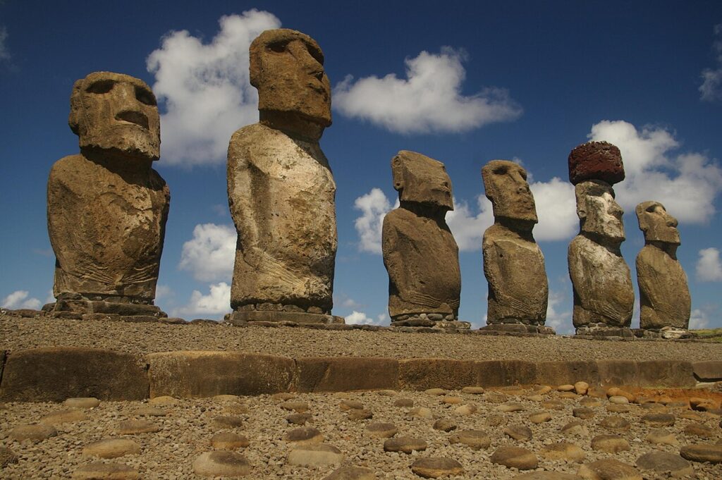
Easter Island, known to its people as Rapa Nui, sits in the southeastern Pacific Ocean, one of the most isolated inhabited islands on Earth. Its remoteness means that even a strong quake can pass with little impact on land — but it also means that monitoring relies heavily on distant seismic stations and satellite data. Authorities had not reported any tsunami warning linked to the October 29 event in the early hours after it struck.


