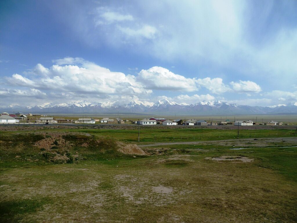

Kyrgyzstan earthquake 5.2 magnitude tremors struck the country on Wednesday, 4 November 2026, with shaking also felt across the border in Uzbekistan’s Fergana Valley. According to Qazinform, citing Uzbekistan’s Republican Center for Seismic Forecasting Monitoring, the earthquake was recorded at 02:34 local time, with its focus at a depth of 10 kilometres.
The United States Geological Survey placed the quake at 91 to 97 kilometres east-southeast of Kyzyl-Eshme, Kyrgyzstan, at 21:34 UTC on 3 November — equivalent to the early hours of 4 November local time. The epicentre coordinates were approximately 39.36 degrees north and 73.30 degrees east, in a mountainous region near the Kyrgyzstan-Tajikistan border.
Felt across the Fergana Valley
In Uzbekistan’s Andijan and Fergana regions, the tremors reached an intensity of 2 to 3 points, officials said. The epicentre was located 134 and 136 kilometres from those regions respectively, according to the Uzbek seismic monitoring centre. At that distance and with a moderate magnitude, light shaking rather than damage would be expected — and no reports of casualties or major damage had appeared in the first reporting on Wednesday.
The quake was shallow, at 10 kilometres deep, which can make shaking more noticeable near the epicentre even at moderate magnitudes. Seismologists classify 10 kilometres as shallow by convention, though the mountainous and sparsely populated nature of the epicentral area limits exposure.
A sequence, not a single shock
The 5.2-magnitude event did not occur in isolation. According to USGS-derived reporting, a magnitude 4.5 quake struck the same area about an hour later, and a magnitude 4.4 event was also recorded nearby. Separately, Qazinform reported on Wednesday that three earthquakes had struck southern Kyrgyzstan, with the strongest reaching an epicentral intensity of 5.5 on the local intensity scale, according to preliminary data from the Institute of Seismology of the National Academy of Sciences of the Kyrgyz Republic.
Aftershocks and neighbouring events are common in this seismically active region, where the Pamir and Tian Shan mountain systems meet. Officials urged residents to follow standard earthquake guidance — to stay calm, move away from objects that could fall, and avoid damaged buildings until they have been checked — though no evacuation order had been reported.
What happens next
Seismic agencies will continue to refine the magnitude, depth and location as more data arrives, and figures may be revised slightly from the first reports. For now, the confirmed picture is a moderate, shallow earthquake in a remote border region, felt lightly across a densely populated valley to the west, with no confirmed reports of serious harm in the first hours after the shaking.
Residents in the Fergana Valley and southern Kyrgyzstan who felt the tremor were advised by local authorities to report damage through official channels, so that any affected buildings can be assessed.