
A strengthening coastal storm reaches the Northeast today, bringing soaking rain, gusty winds and possible minor coastal flooding, while a separate Pacific storm sets up a blizzard in the Sierra Nevada on Friday night. Travellers on both coasts face a difficult end to the week, with forecasters warning that mountain travel in California could become dangerous to impossible.
The Weather Prediction Center said at 3 a.m. ET on Thursday that a low-pressure system crossing the East is forecast to grow into a large storm as its centre passes east of Cape Cod tonight. Steady rain spreads over southern New England by this evening, possibly heavy at times near the coast, with stronger northeast winds and possible minor coastal flooding at high tide along parts of the coast near New York City.
Rain, Then Snow in the High Ground
Rain is likely to change to snow tonight into Friday over the higher ground of New York, northeastern Pennsylvania and northern New England, with accumulating snow and slick travel likely at elevation. Winter Weather Advisories cover 2 to 5 inches of wet snow in the Adirondacks, the Catskills and the Vermont high ground. The Storm Prediction Center also issued a level 1 of 5 marginal risk of severe thunderstorms for Thursday afternoon across southeastern Pennsylvania, Delaware, eastern Maryland and central and southern New Jersey.
Wet snow could also fall in the central and southern Appalachians on Friday night into Saturday morning, and a hard freeze is expected to reach the Deep South this weekend as cold air follows the storm.
Sierra Blizzard on Friday Night
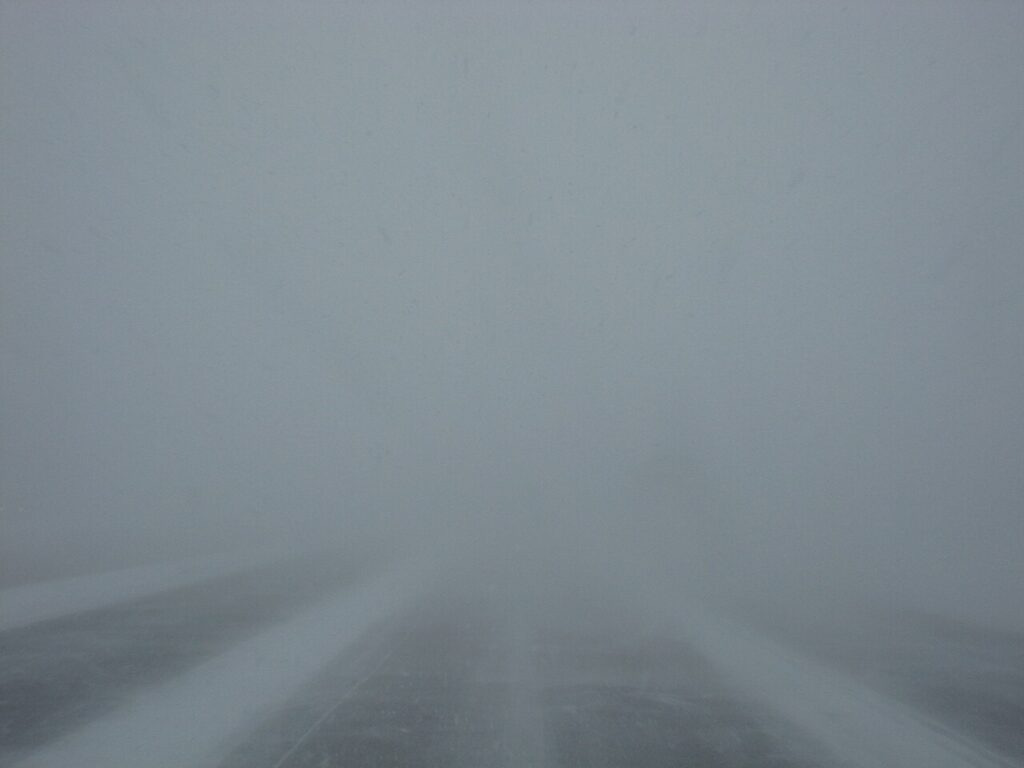
Out West, the National Weather Service has upgraded Sierra Nevada watches to Winter Storm Warnings from Friday morning to Saturday morning, including Lake Tahoe and Interstate 80 above 5,000 feet. Forecasters expect 6 to 12 inches of snow at lake level and more than 18 inches at the highest elevations, with heavy snow and strong winds likely creating blizzard conditions on Friday night into Saturday morning.
The same Pacific system brings a Level 2 storm to the San Francisco Bay Area on Friday, the first moderate storm of the season, with about half an inch of rain in most cities, wind gusts of 30 to 50 mph, and waves of 20 to 30 feet slamming beaches through Saturday under a High Surf Warning. Thanksgiving travel is still two weeks away, but anyone driving the I-80 corridor or flying through Northeast hubs this weekend should check forecasts and flight status before leaving home, allow extra time, and keep an emergency kit in the car.