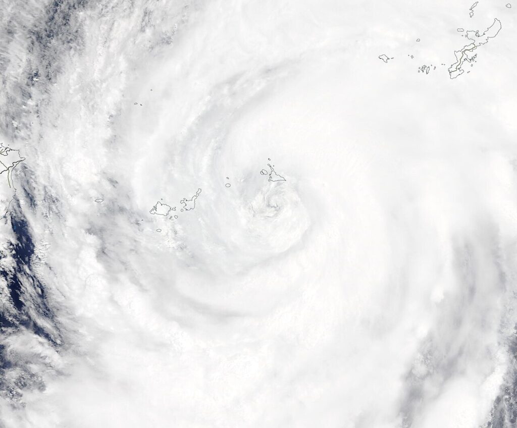

Super Typhoon Infa is outside the Philippine Area of Responsibility and is not directly affecting the country, but it is being watched closely on Friday, October 30, according to the Philippine Atmospheric, Geophysical and Astronomical Services Administration (PAGASA). Its eye was last located 2,935 kilometres east of Northern Luzon, with maximum sustained winds of 185 kilometres per hour and gustiness of up to 230 kilometres per hour, moving west-northwestward at 30 kilometres per hour. PAGASA said Infa may recurve toward Japan, and the chance of it entering the PAR is lower, but it may still skirt the northeastern boundary of the area, according to Cebuano News reporting of PAGASA’s 5 a.m. forecast on October 30. A separate low pressure area (LPA) inside the PAR was last spotted 585 kilometres east of Borongan City, Eastern Samar, and PAGASA does not expect it to become a tropical cyclone, according to Weather Specialist Leanne Loreto.
Rain across Visayas, Mindanao and Palawan
Still, the LPA’s trough is bringing cloudy skies and a high chance of rain over large parts of Visayas, Mindanao and Palawan, according to PAGASA. For now, the LPA may dissipate over the weekend. Two weather systems are also affecting Luzon: a shear line, the meeting of the amihan and easterlies, bringing cloudy skies and scattered rains, thunder and lightning to eastern sections of Northern and Central Luzon, including Cagayan, Isabela, Nueva Vizcaya, Quirino, Aurora and Quezon. PAGASA’s October 29 forecast had already warned of possible flash floods and landslides in Metro Manila, CALABARZON, Aurora, Bulacan, Oriental Mindoro, Marinduque, Camarines Norte and Camarines Sur due to moderate to heavy rainfall, according to Kuryente News. That warning remains relevant on Friday as shear-line rains continue, even though no gale warning was in effect in the October 30 forecast.
Undas week outlook: watch, don’t panic
The October 30 forecast was issued with an Undas Week outlook, as many Filipinos travel for All Saints’ and All Souls’ Day, according to the report. PAGASA’s message for Friday is measured: Infa is powerful but far away, the LPA is rainy but not expected to become a cyclone, and the main risk is localised flooding and thunderstorms, not a direct typhoon landfall. That could change if Infa’s track shifts or the LPA organises, and PAGASA said it continues to monitor both systems closely, according to Netasgard News reporting of its October 29 update. For now, residents in the Visayas, Mindanao, Palawan and eastern Luzon are advised to watch for localised flooding, keep an eye on class and work suspensions, and follow PAGASA updates through the weekend.