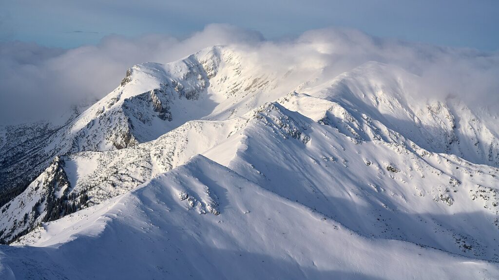

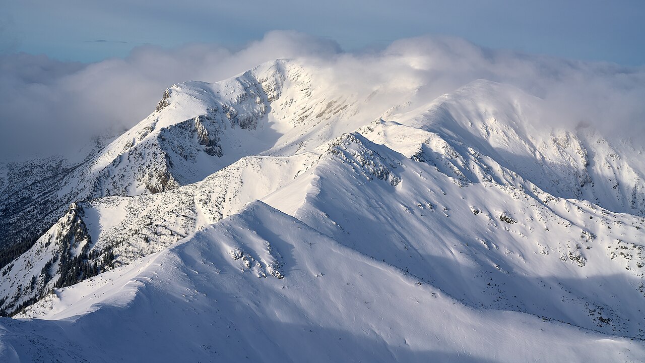
Heavy snow is on the way back to the mountains of the American West next weekend, according to the National Weather Service — and the winter ahead could be one of the snowiest on record in parts of the country.
The National Weather Service’s Climate Prediction Center, in its US Hazards Outlook issued at 3 p.m. Eastern Time on Saturday, November 7, puts a moderate risk of heavy precipitation over southwest Oregon and northern and central California on Sunday, November 15. The same outlook puts a moderate risk of high-elevation heavy snow over the Klamath Mountains and the Sierra Nevada on November 15, with a slight risk of heavy precipitation and high-elevation snow across the Cascades, the Klamath and the Sierra Nevada from November 15 to 18.
There is also a slight risk of much-below-normal temperatures across the Ohio and Tennessee Valleys, the Southeast and the Mid-Atlantic Coastal Plain on November 15. Above-normal temperatures are favoured for much of the rest of the country in that period.
Snow in the Cascades this week
Closer to home, the Weather Prediction Center’s forecast for November 8 to 11, issued at 1:42 a.m. Eastern Time on Sunday, brings snow to the higher Cascades, mainly above 5,000 feet. Washington Pass on State Route 20, at 5,476 feet, is still open, with a 10% to 20% chance of at least four inches of snow from Monday to Tuesday, changing to rain on Tuesday afternoon. The probability of significant ice anywhere in the continental United States is below 10%.
A record El Niño winter?
The longer-range picture is striking. Fox Weather’s winter outlook, published on November 4 and reported by Autoblog on November 8, points to a record-strength El Niño, with the National Oceanic and Atmospheric Administration’s Climate Prediction Center giving an 83% chance it becomes the strongest on record. Above-average snow is possible in California, the Four Corners and the Mid-Atlantic, while below-average snow is possible in the Rockies and the Pacific Northwest, and lake-effect snow downwind of the Great Lakes may be substantially reduced. NOAA’s winter outlook does not forecast snowfall totals.
AccuWeather, via Men’s Journal on November 7, adds that a late-November system could bring wet snow to the Great Lakes and the interior Northeast as Thanksgiving approaches, with mountain snow possible in the Mountain West over the Thanksgiving weekend. Much of California is expected to see above-average rainfall, with mountain snow above usual, while eastern Texas, the Southeast, Florida, the Carolinas and the southern Mid-Atlantic could see above-average rainfall and some flooding in mid-to-late November. No ice concern is flagged at this point.


