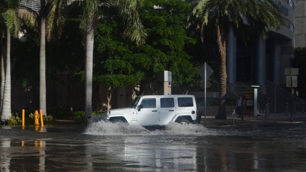

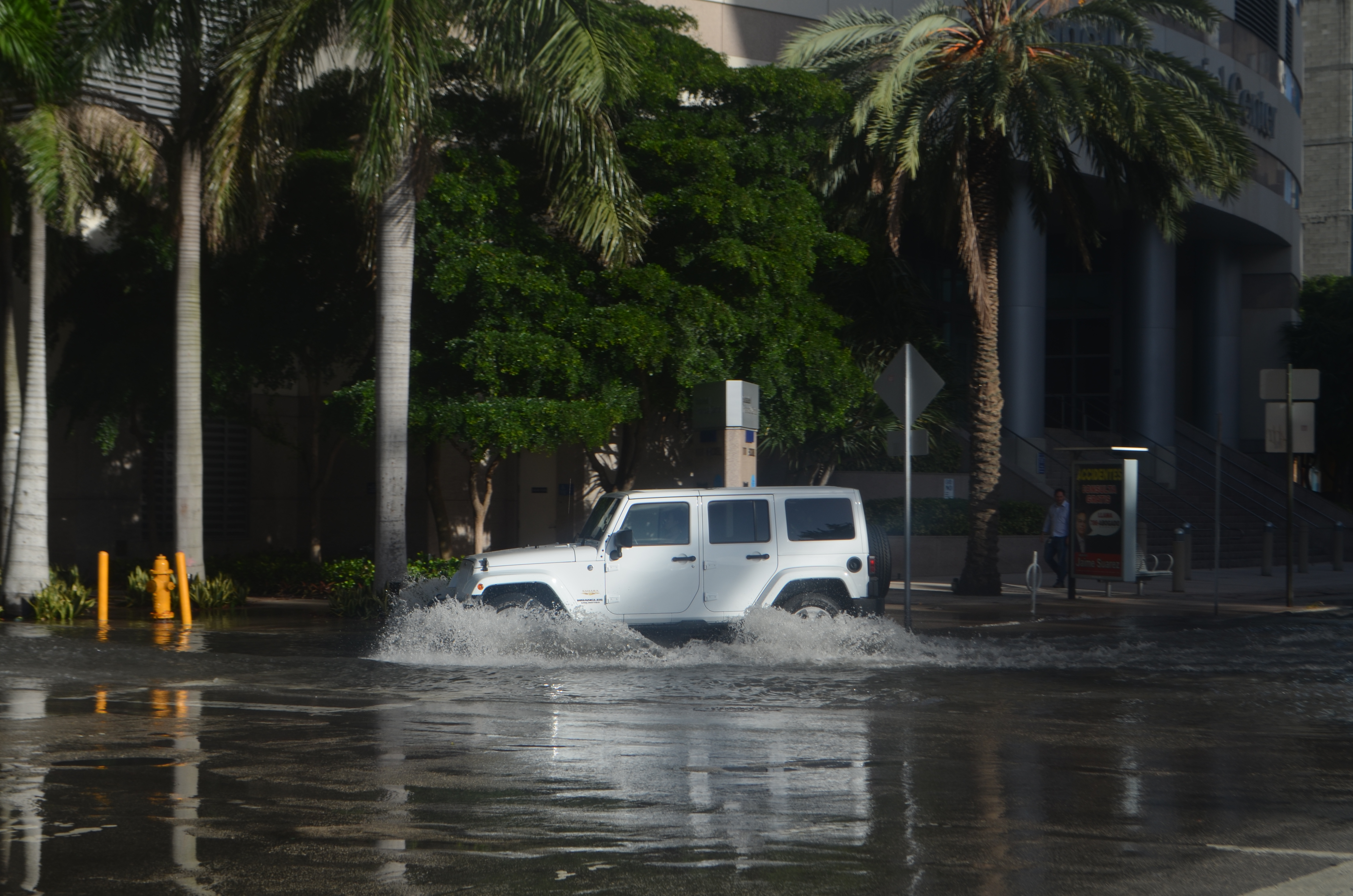
Florida’s east coast is under a multi-day flash flood threat, with parts of South Florida already soaked overnight and more heavy rain on the way through Friday. The Florida flash flooding has put the St. Johns River near Cocoa in major flood and left flood watches in place from Duval County south to Miami-Dade County.
The National Weather Service in Miami issued flash flood warnings overnight for southern Broward County, extended until 2 a.m. on Wednesday. Doppler radar showed thunderstorms producing heavy rain across the warned area, with between 8 and 11 inches of rain already fallen and another 2 to 3 inches possible. The weather service warned of life-threatening flash flooding of creeks and streams, urban areas, highways, streets and underpasses.
Broward soaked overnight
A flash flood watch remains in effect through Thursday evening for Palm Beach, Broward and Miami-Dade counties, including the cities of Miami, Fort Lauderdale, West Palm Beach and Boca Raton. The weather service said several rounds of storms may produce 2 to 4 inches of rain through late Thursday, with higher amounts of 6 to 8 inches and locally isolated totals over 10 inches possible.
The Weather Prediction Center has placed a moderate risk, level 3 of 4, of rainfall exceeding flash flood guidance on parts of the east-central and northeast coast from Wednesday through Friday. Florida’s Division of Emergency Management said widespread amounts of 4 to 8 inches are expected along the immediate coast through Saturday, with isolated totals of 12 to 16 inches possible, especially from Martin County north to Duval County.
Rivers already in major flood
The St. Johns River near Cocoa was already in major flood, at 17.13 feet at 9:15 p.m. on Tuesday, according to the official NOAA gauge. The Southeast River Forecast Center expects the gauge to reach 17.2 feet by Thursday morning, still in major flood. Grounds across most of east-central Florida are already saturated after heavy rain two weeks ago.
The division said it is highly unusual, outside tropical systems, to see multiple days of moderate flash flood risk in Florida. The same region was hit on November 1 and 2, when a stalled weather pattern dumped 13 to 24 inches of rain across Brevard, Indian River, St. Lucie and Palm Beach counties, with 24.1 inches measured in Malabar and a state of emergency declared in seven counties. A surface low may form off the Florida coast by Saturday and could carry more rain and wind up the East Coast this weekend, though its track remains uncertain.